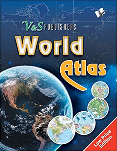
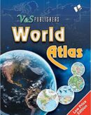
This atlas contains clear and easy to understand physical and political maps of India, continents, regions and important countries of the world supported by diagrams and charts. The atlas carries extensive coverage of thematic issues such as industry, mineral, agriculture, natural vegetation, climate, power, rail, road, air & sea routes, tourism, heritage, temperature & pressure, environments, whether, human development, metal & non metal, and other important information. Demographic and socio-economic data of India drawn from reliable sources such as Census of India 2011, Statistical Year Book India 2014. Information about the world from authoritative published sources. Comprehensive thematic maps on Indian agriculture & irrigation, food & cash crops, climate, rain, temperature, pressure & winds, metals & non-metals, mining, fuel, industries, transport and other important demographic information Key information and data about countries of the world and world statistics #v&spublishers Contents: Publisher’s Note I. INDIA 1. India – Physical . . 10. India – Rainfall, Winds & Climatic Regions – Thematic . . 17. India – Tourism & Heritage – Thematic III. World 1. World – Physical . . 6. World – Soils and Natural Vegetation – Thematic IV. Asia 1. Asia – Physical . . 10. Asia – South East Asian Peninsula V. Europe 1. Europe – Physical 2. Europe – Political 3. Europe – United Kingdom and Ireland VI. Africa 1. Africa – Physical 2. Africa – Political 3. Oceania and Australasia 4. Oceania and Australasia – Physical 5. Oceania and Australasia – Political VII. North America 1. North America – Physical 2. North America – Political VIII. South America 1. South America – Physical 2. South America – Political IX. General 1. World – Flags of Countries 2. Continents and Their Features 3. Global Warming 4. Formation of Indian Subcontinent 5. Features of Indian Subcontinent 6. Geographical Information 7. Basic Information of Major 8. Geographical Comparisons 9. Symbols and Geographic Extremes
World Atlas: Government Approved Maps of India and the World, for Exams & Competitions, in Colour ||
Original price was: ₹250.₹225Current price is: ₹225.
(Only 5 left in stock)
Only 5 left in stock
| Weight | 0.45 kg |
|---|---|
| Dimensions | 21 × 18 × 2 cm |
| Author Name | |
| Binding | |
| Language | |
| Publisher | |
| Publishing Year |


Reviews
There are no reviews yet.